Things to Do in Santa Ana Besides the Volcano
What to do in Santa Ana, El Salvador beyond the hike, the cathedral and historic theatre, coffee country, Lake Coatepeque, and how to shape your days.
 Written with Carlos Hernández, Santa Ana Volcano tour guide & hiking specialist
Short answer
Santa Ana rewards a day or two beyond the hike. See the neo-Gothic cathedral and the historic theatre on the main square, ride into the coffee towns of the Ruta de las Flores, and give Lake Coatepeque a slow afternoon. The city is compact, cheap and easy to walk.
Hikers treat Santa Ana like a bus stop, and it deserves better. I grew up watching tourists step off at La Vencedora, ride to the volcano, and leave the same evening without seeing the square that locals consider the prettiest in the country. The city is El Salvador's second largest, it sits in the middle of coffee country, and its historic center holds two buildings worth crossing the country for. Here is what I send people to when the summit is done.
What is there to do in Santa Ana city itself?
The historic center is the show: the neo-Gothic cathedral and the century-old theatre share the main square, with the city hall alongside, and the surrounding blocks hold markets, coffee shops and everyday street life. Add the volcano, the lake and the coffee towns and the area fills two or three days easily.
| Sight or activity | Where | Time to give it |
|---|---|---|
| Cathedral of Santa Ana | Main square, historic center | 30 to 60 min |
| Teatro de Santa Ana (historic theatre) | Main square, historic center | 30 to 60 min, more for a show |
| Central market and street food | Blocks around the center | 1 to 2 h |
| Ruta de las Flores coffee towns | ~1 h west and south | Half to full day |
| Lake Coatepeque | Caldera east of the volcano | Half day or an overnight |
| Cerro Verde National Park | Between the three volcanoes | Half day |
| The summit hike itself | El Tibet trailhead | 3 to 4 h on trail |
The pattern I suggest is simple: city in the evenings, excursions in the mornings. Santa Ana's square comes alive after the heat breaks, and the excursion targets, the volcano, the lake, the coffee towns, are all morning territory anyway. The official tourism site frames the volcano as the region's centerpiece, which is fair, but the supporting cast is deeper than most itineraries admit.
Are the cathedral and the theatre worth your time?
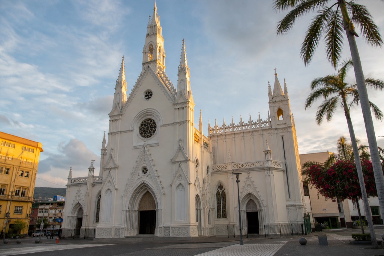
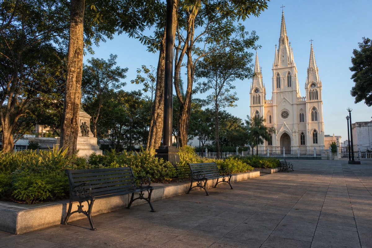
Yes, and they are steps apart, which makes it easy. The cathedral's white neo-Gothic front is the most photographed building in western El Salvador, and the theatre beside it is a restored early-1900s opera house that still stages performances. Give the pair an unhurried hour, more if something is on.
The cathedral first. Its spired facade is unusual for the region, most Salvadoran churches are colonial baroque or plain modern, and this one looks lifted from another continent. Inside is cooler and quieter than the square outside, and entry works like any active church: it is a functioning place of worship, so time your visit around services and dress with a little respect. I will not print opening hours here because they shift, check locally when you arrive.
The theatre is the building locals are proudest of. Built in the coffee boom years around the start of the twentieth century, when Santa Ana's growers were rich enough to want European culture at home, it has been restored and hosts performances and cultural events. Even without a ticket, the exterior and the square-side view of both buildings together justify the walk. If you catch an event, better still, ask at your accommodation about what is on during your dates rather than trusting anything printed online.
Around the two, the historic center rewards aimless walking. Coffee shops have multiplied in recent years, the market blocks sell fruit you will not recognize, and the whole center is walkable in an afternoon. For a wider view of what the city and region are known for, I keep a separate page on what Santa Ana is known for.
What about coffee country and the lake?
West of the city, the Ruta de las Flores strings together coffee towns, Juayúa, Apaneca, Ataco among them, known for murals, weekend food markets and farm tours. East sits Lake Coatepeque, a swimmable caldera lake nearly 10 km across. Either fills a half day well, both deserve full ones.
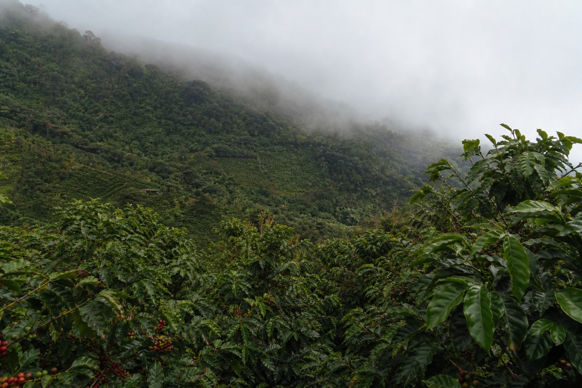
Coffee is why Santa Ana matters historically. The high slopes around the volcano grow it, the city's grand buildings were paid for by it, and the towns along the Ruta de las Flores still live on it. Tours of working farms run from several of the towns, murals cover the walls in Ataco, and weekends bring food stalls to Juayúa. Go on a weekend if you can arrange it, the towns are noticeably livelier.
The lake is a different mood. Coatepeque is the flooded caldera you saw from the summit, turquoise from above, warm at the shore, with recent visitors reporting jet-ski rental among the waterfront options. It is the natural decompression day after the climb. I cover it fully in the Lake Coatepeque guide, including why swimming happens here and never in the volcano's own acidic crater lake.
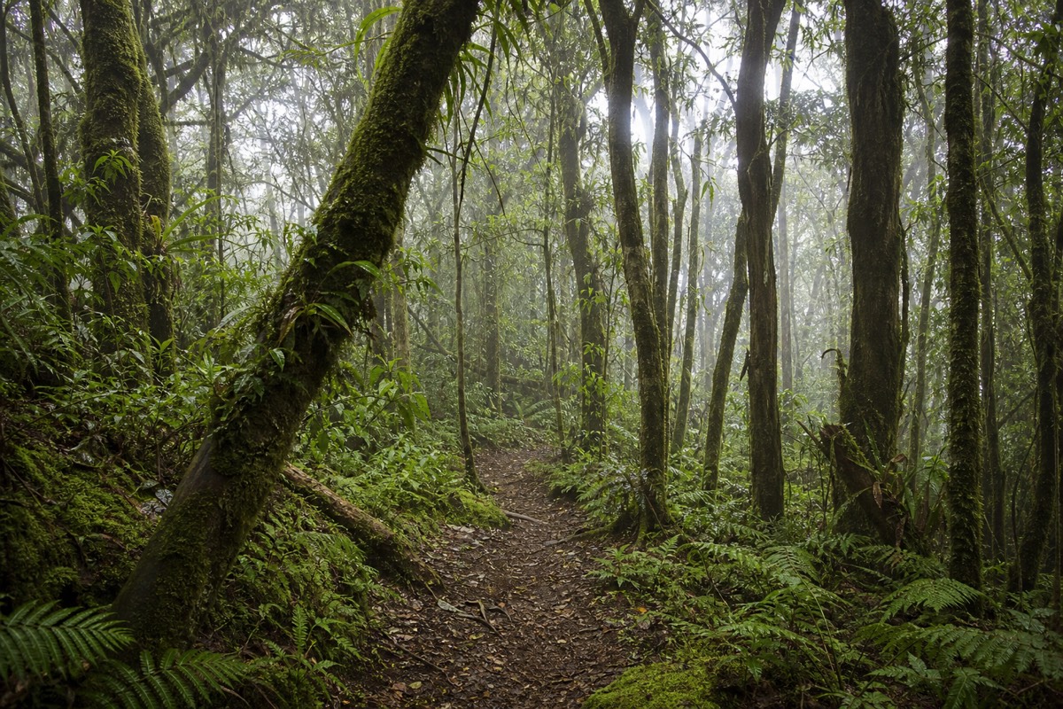
Between the two sits Cerro Verde National Park at about 2,000 m, where the extinct third volcano of the trio hosts forest trails with views across to Izalco's black cone. The Cerro Verde guide covers the loop for anyone who wants green shade without a summit push.
How do you structure your days around the hike?
Put the climb first and keep it in the morning, the guided group starts by 9:30 to 10:00 with the last entry at 11:00, and the crater area closes around 13:00. That leaves your afternoons for the city and your remaining days free for the lake and coffee country.
| Day shape | Morning | Afternoon | Evening |
|---|---|---|---|
| Summit day | The climb, ~2 h up, ~1.5 down | Lake Coatepeque lunch and rest | Easy city stroll |
| City day | Cathedral, theatre, market | Coffee shops, slow lunch | Square at dusk |
| Coffee day | Ride the Ruta de las Flores | Farm tour or murals in Ataco | Back for dinner in Santa Ana |
| Lake day | Swim or boat on Coatepeque | Shoreline lunch, hammock | Sunset over the caldera |
The hike itself is a moderate 6.9 km round trip with about 470 m of gain, and everyone climbs with the mandatory local guide in the daily group. Rocky underfoot near the top, poles rent for about $2, and the summit runs cooler and windier than the city. If you are basing in Santa Ana, the DIY bus route works well, and if you are coming from San Salvador or the coast, the packaged version handles everything: book the guided day tour and check live availability and prices on Viator, it folds the summit and the lake lunch into one 7 to 10 hour day and returns you in time for a city evening.
How does a two-day Santa Ana stay run, hour by hour?
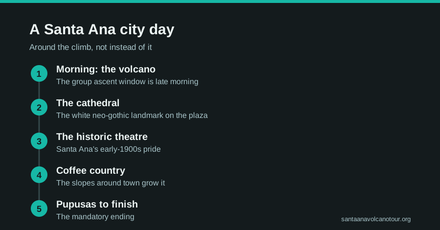
Day one is the volcano: bus 248 out of La Vencedora around 7:30 to 7:40, the trailhead by about 9:30, the group ascent, the crater rim near midday, back in the city for the evening square. Day two is the city in the morning and Lake Coatepeque or the coffee towns after lunch. Two days, no wasted hours.
People ask me for a schedule and then ignore it, which is fine, but the bones of a good two days here are simple enough to keep in your head. The morning of the hike is fixed by the volcano's window. Everything else bends around your appetite.
| Rough clock | Day one, the volcano | Day two, the city and beyond |
|---|---|---|
| ~7:00 | Walk to La Vencedora, small bills ready | Coffee near the square, the center is quiet |
| ~7:30 to 7:40 | Bus 248 leaves, ~$0.70, roughly 2 h | Cathedral before the heat, then the theatre |
| ~9:30 to 10:00 | Trailhead at El Tibet, poles for ~$2, group forms | Market blocks, fruit you cannot name |
| ~10:00 to noon | The climb, about 2 h up | Slow lunch in the historic center |
| Around noon | Crater rim, paletas, the turquoise lake | Ride east to Lake Coatepeque or west to the coffee towns |
| ~13:00 | Crater area closes, the group heads down | Swim or farm tour, depending on direction |
| Mid afternoon | Back at El Tibet, return bus | Late afternoon on the water or a mural walk in Ataco |
| Evening | Pupusas and the plaza at dusk | Back in Santa Ana for dinner, or stay out at the lake |
The bones of day one come straight from the trail's rules. Everyone climbs with the mandatory local guide in the daily group, the last start is 11:00, and the crater area empties by about 13:00. Ride the 7:30 bus and you have margin. Ride a later one and you are gambling with the thing you came for. My main hike guide covers the climb itself, and the getting there guide has the terminal details.
Day two has no clock at all beyond the heat, which is why the cathedral goes first. Give the square an hour while it is cool, eat when the city eats, and choose east or west for the afternoon depending on whether your legs want water or a slow ride through coffee country. If you are on the guided day from San Salvador rather than basing here, day one is handled door to door and day two becomes your Santa Ana city day, arriving by intercity bus in about an hour.
How much cash do you need for a Santa Ana day?
Small US bills, and enough of them. A do-it-yourself volcano day from the city runs about $17 all in: two ~$0.70 bus fares, $3 park entrance for foreigners, about $4 for the group guide, roughly $2 for poles, a paleta at the top. City days cost whatever you eat. The fees at the volcano are cash only.
The money conversation happens at the guide table every morning. Someone arrives with a twenty and finds nobody able to break it. Break your bills in the city the day before, buses and market stalls prefer coins and singles anyway.
| Item | Cash | Notes |
|---|---|---|
| Bus 248, each way | ~$0.70 | La Vencedora, ~7:30 to 7:40 am departure |
| Park entrance | $3 foreigners, $1.50 Salvadorans | Cash at the gate |
| Group guide, mandatory | ~$4 per person | Private guide ~$35 to $40 instead |
| Parking, if you drove | $3 | Cash |
| Poles | ~$2 rental | Praised in nearly every review, mostly for the descent |
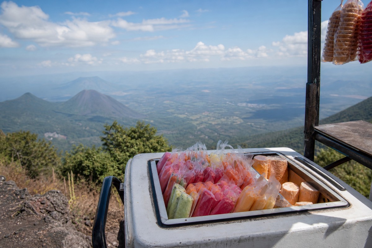
| Summit paleta | Small change | Sold at the rim, load-bearing for morale |
| Whole DIY day | ~$17 | One traveller's recent all-in tally |
City costs are a different story and I will not pretend to price them, cafes and market lunches shift with the season and the block. What I can say is that the historic center is the cheapest place on this site to spend a day, and that the volcano's own price stack is the only fixed part of the budget. For the packaged version from the capital, admission and lunch at Lake Coatepeque are included, so the cash you carry is for poles, paletas and tips. The tour cost guide sets both versions side by side.
One habit that saves trouble: keep the volcano cash in a separate pocket from the city cash. The guide table, the parking attendant and the pole rental all move quickly, and fumbling through notes while the group forms is how people end up starting last. Cards work in the larger city places, but build the day assuming the interesting parts of it run on paper money.
Is Santa Ana worth visiting in the green season?
Yes. The city, the coffee towns and the lake work year round, and the volcano's late-morning group ascent mostly beats the afternoon cloud that defines May through October. November through April gives the clearest crater and drier roads. Green season gives fuller coffee slopes, greener trail and quieter squares.
The season question is really about one thing, whether you will see the crater lake, because nothing else in this guide minds the rain. Here is how the two halves of the year treat each stop.
| Stop | Dry season, Nov to Apr | Green season, May to Oct |
|---|---|---|
| The summit | Clearest crater views | Lush trail, afternoon cloud, ascent usually done before it settles |
| Cathedral and theatre | Dusty light, festival weekends | Cooler afternoons, wet plaza stones at dusk |
| Ruta de las Flores | Dry roads, busy weekend markets | Coffee slopes at their greenest, showers after lunch |
| Lake Coatepeque | Sharp light, warm water | Dramatic skies, still swimmable |
| Cerro Verde loop | Clear views to Izalco | Mist in the forest, which suits it |
The volcano row needs the most explanation. The daily group forms between about 9:30 and 10:00 and is at the rim around midday, then off the crater by 13:00. Green season cloud tends to build through the afternoon, so most groups are down before it closes in. Not always, I have stood at the rim in the wet months looking at white, but often enough that I do not steer people away from May to October. The best time to hike guide goes month by month.
The city, if anything, improves. Afternoon rain empties the streets and cools the plaza, and by dusk the square fills again with the stones still wet. The coffee towns are greener, and the farms are working. If you have the choice, come dry for the crater. If you do not, come anyway and put the hike on your first full morning so a clouded rim has a second chance.
What do first-time visitors get wrong about Santa Ana?
Five things, in Carlos's experience: treating the city as a bus stop, reaching La Vencedora after the 248 has left, expecting to swim in the volcano's crater lake, trying to fit the coffee towns and the summit into one day, and trusting printed opening hours for the cathedral and theatre. Each one is a single decision.
I have guided on this trail since 2018 and, by my own count, walked more than a thousand travellers to the rim. The mistakes people make in the city are gentler than the ones they make on the mountain, but they cost more, because they cost days.
| Mistake | What happens | The fix |
|---|---|---|
| Santa Ana as a transit stop | Miss the prettiest square in the country | Sleep one night, give the plaza an evening |
| Late to La Vencedora | Later bus, thin margin before the 11:00 last start | Walk to the terminal for 7:30 |
| Planning to swim in the crater | The crater lake is sulfuric, acidic and off limits | Swim in Coatepeque, the caldera next door |
| Coffee towns and summit in one day | Both rushed, neither enjoyed | Summit in the morning, coffee country another day |
| Trusting online opening hours | Locked door at the theatre | Ask locally when you arrive |
The crater misunderstanding is the one that surprises people most. From the rim the lake looks like an invitation, that impossible turquoise, and every week someone asks where the path down is. There is no path down and no swimming: the water is acidic, rim access is managed, and the volcano is monitored daily by MARN's SNET service. The swimming lake is Coatepeque, warm and nearly 10 km across, and I explain the difference fully in the crater lake guide.
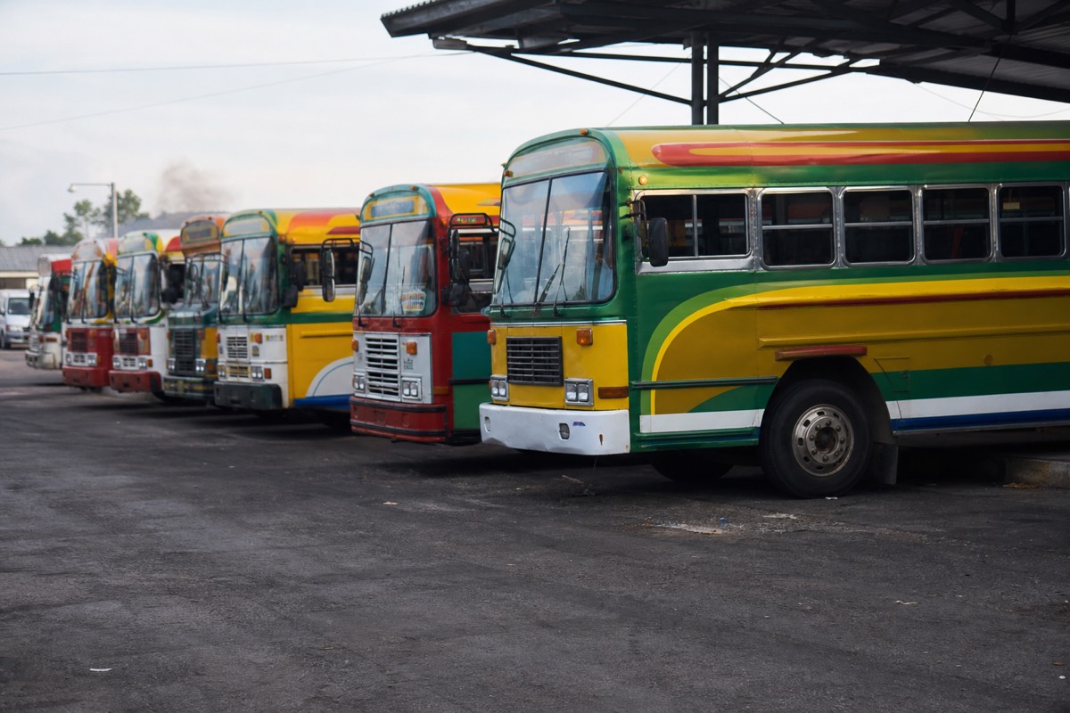
The bus mistake is the practical one. The 248 leaves around 7:30 to 7:40 and takes roughly 2 hours, which lands you at El Tibet inside the group window with time for poles. Miss it and the arithmetic gets tight fast, because nothing else on public transport is built around an 11:00 cutoff. And the one-day-does-all mistake is just optimism. The hike is 3 to 4 hours on trail plus the ride each way. Give the coffee towns their own morning and you will like both far more.
Who should skip the hike and still enjoy Santa Ana?
Anyone the climb excludes: the guided day is not wheelchair accessible and is not recommended for travellers with back or heart problems or during pregnancy. For them, and for anyone who simply does not want 470 m of rock, the city, the coffee towns, Lake Coatepeque and Cerro Verde's forest loop make a full and honest stay.
Not everyone who comes to Santa Ana should climb Ilamatepec, and I would rather say so than watch someone struggle on the loose upper third. The trail is moderate, roughly 470 m of gain over 6.9 km, but it is rocky near the top and the rim is cooler and windier than the city. Poles and the group pace help. They do not flatten a volcano.
For those travellers the region still delivers. Cerro Verde National Park sits at about 2,000 m in the saddle between the three volcanoes, and its shaded forest trails give viewpoints across to Izalco's black cone at almost no grade. It is a walk in a beautiful park, not a summit, and for small children, older knees or a heart condition it is the honest choice. Coatepeque offers the swimmable water the volcano's crater never will. And the city asks nothing of your legs at all beyond a stroll from the cathedral to the theatre.
There is a middle group too: people who could climb but are unsure. For them my answer is that Santa Ana is the accessible summit, the easiest true peak in the country with a real reward at the top, and recent hikers keep describing it as not super easy but not as difficult as anticipated. The easiest volcano guide sets out the whole ladder, from Cerro Verde's flat loop to Izalco's steep cone, so you can place yourself on it honestly. If you decide to climb, the is it worth it guide tells you what you are climbing for, and the guided day tour from the capital handles pickup, admission and the lake lunch for anyone who would rather not manage the morning themselves.
Whichever group you fall into, give the city its evening. The square does not care whether you reached the rim.
How do you get around Santa Ana and the region?
On foot in the center, by local bus or taxi beyond it. The historic core is compact and flat, bus 248 runs from La Vencedora terminal to the volcano trailhead for about $0.70, and taxis or shuttles cover the lake and the coffee towns cheaply.
| Trip | Mode | Rough cost and time |
|---|---|---|
| Around the historic center | Walking | Free, everything within blocks |
| City → volcano trailhead | Bus 248, ~7:30 am | ~$0.70, ~2 h |
| City → Lake Coatepeque | Taxi or local bus | Short ride east, under an hour |
| City → Ruta de las Flores | Bus or shuttle | ~1 h to the first towns |
| City → San Salvador | Intercity bus | ~1 h |
Two practical notes. Cash rules the small stuff, the volcano fees themselves are cash only, $3 entrance for foreigners, about $4 for the group guide, so keep small US bills on you for buses, markets and paletas. And the security picture is genuinely calm: the US State Department lists El Salvador at Level 1, exercise normal precautions, and Santa Ana's center feels it, families out late, tourists unremarkable.
Give the city the evenings it deserves and Santa Ana stops being a bus stop. The volcano brought you here, the square, the coffee and the lake are why you will tell people to stay longer.