How to Get to Santa Ana Volcano: Bus, Car, or Pickup
Bus 248 from Santa Ana, a rental car from San Salvador, or hotel pickup: every route to the El Tibet trailhead compared, with real fares and timings.
 Written with Carlos Hernández, Santa Ana Volcano tour guide & hiking specialist
Short answer
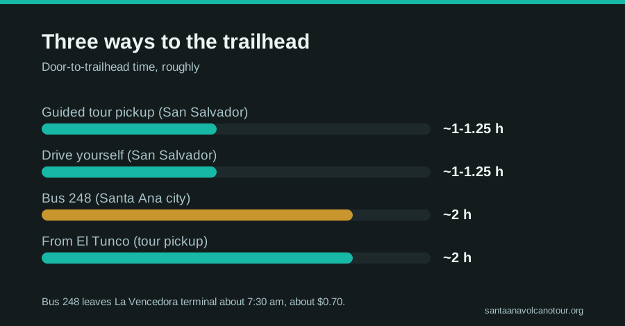
Bus 248 leaves La Vencedora terminal in Santa Ana city around 7:30 am, costs about $0.70, and reaches the El Tibet trailhead in roughly two hours. Driving takes 1 to 1.25 hours from San Salvador with $3 parking. A guided day with hotel pickup removes all timing risk.
The 248 was already half full when I first rode it up the mountain, farmers with machetes wrapped in newspaper, two backpackers gripping the seat rail on the curves. That bus is still how I answer the question I hear more than any other. Getting to Ilamatepec is not hard. Getting there before the ascent window closes is the whole game, and after guiding this trail since 2018 I have watched plenty of people lose the day by an hour.
Where exactly does the hike start?
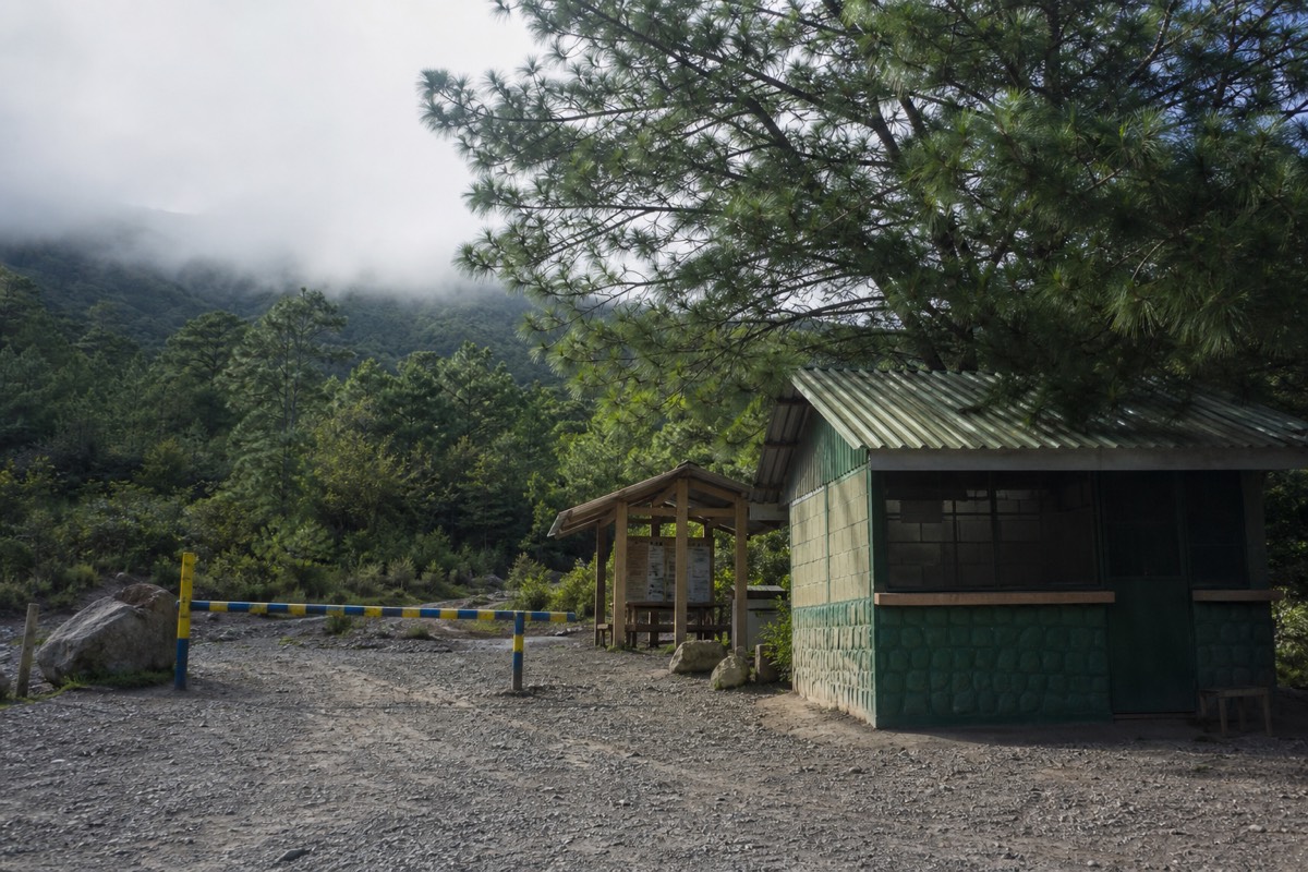
The climb begins at the El Tibet trailhead on the volcano's flank, with access opening around 7:00 am. Bus 248 from Santa Ana city stops there after roughly two hours, drivers park for $3, and the daily guided group sets off between 9:30 and 11:00.
El Tibet sits high on the mountain, in the same volcanic complex as Cerro Verde National Park, which rests at roughly 2,000 m between Santa Ana, Izalco, and Cerro Verde itself. From the trailhead you are looking at 6.9 km round trip and about 470 m of gain to the 2,381 m summit, the numbers AllTrails confirms with a 4.8 rating from hikers. Plan on around 2 hours up and 1.5 down.
The detail that trips people up: you cannot start whenever you like. A local guide is mandatory, and everyone climbs in one daily group ascent. It usually moves out between 9:30 and 10:00, the last start is 11:00, and the crater area closes around 13:00. I cover how that system works in the guide to hiking without a guide, but for transport planning the takeaway is blunt. Arrive by mid morning or do not arrive at all.
How does the bus from Santa Ana city work?
Bus 248 departs La Vencedora terminal in Santa Ana city at about 7:30 to 7:40 am, costs roughly $0.70, and takes around 2 hours to reach the El Tibet trailhead. That timing lands you comfortably inside the 9:30 to 11:00 ascent window, which is exactly why locals rely on it.
This is the classic budget route, and it works because the schedule was effectively built around the ascent. Get to La Vencedora early, the bus fills, and the morning departure is the one that matters. Miss it and no later service gets you up the mountain in time.
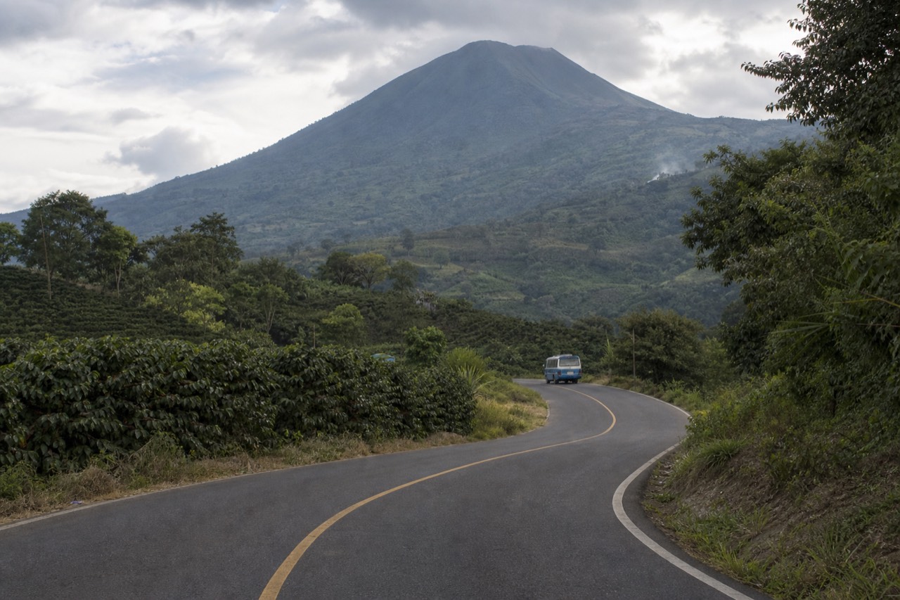
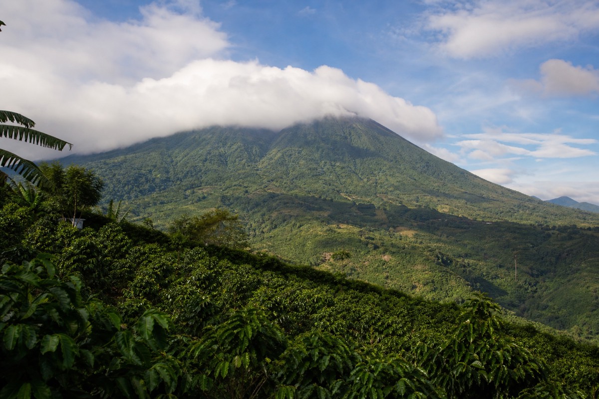
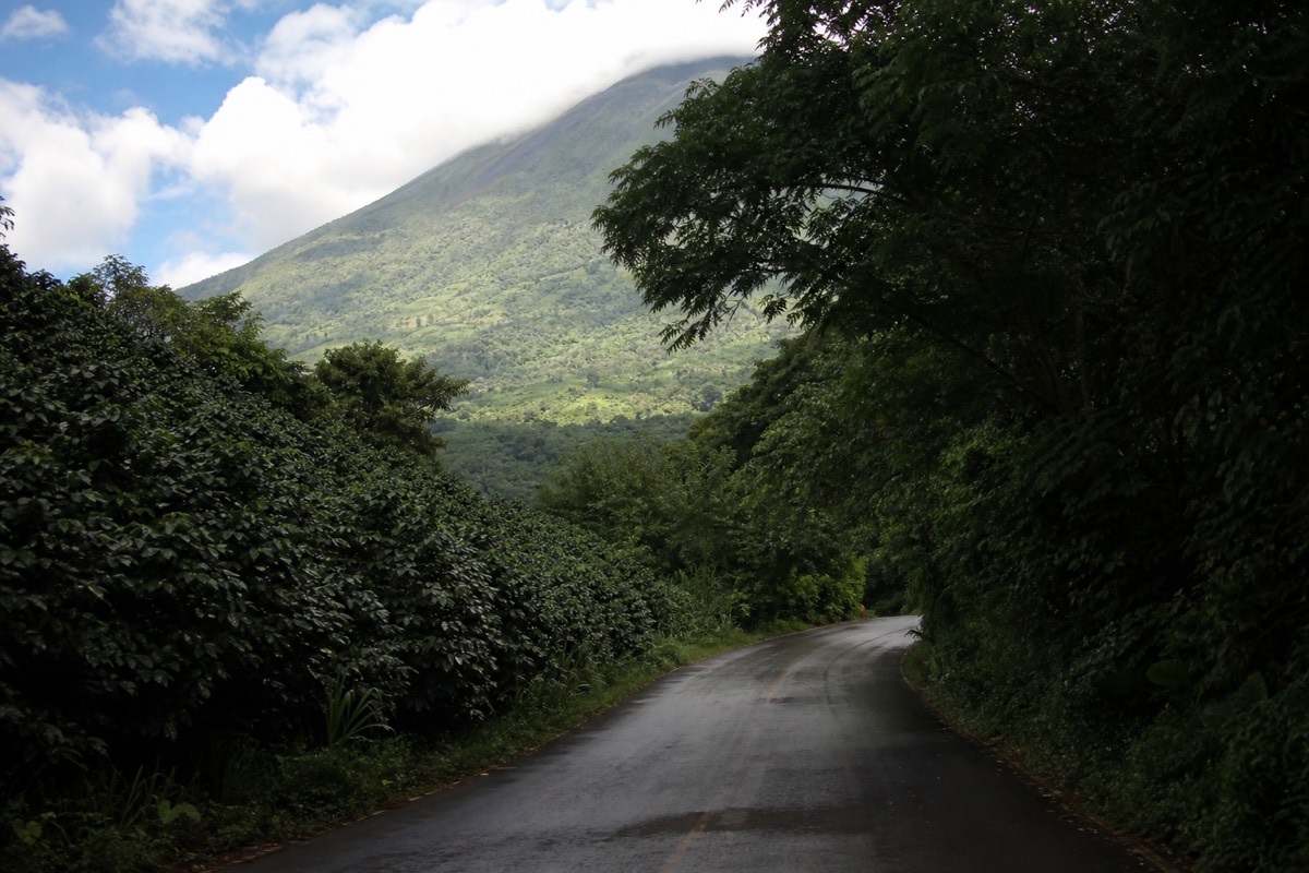
The ride itself is part of the experience. The road climbs out of the city through coffee country, the air cools, and by the last stretch you can see Izalco's black cone through the windows. Two hours sounds long for the distance, but the bus stops often and grinds up steep grades.
What the bus route assumes is that you are already sleeping in Santa Ana city. From San Salvador or the coast there is no workable public connection that hits the window; you would need to arrive the night before. If you are staying near the historic center anyway, the 248 plus the group ascent is the cheapest volcano day in Central America. One traveler's report from April 2025 put the entire day at about $17 including entrance, guide, parking share, and paletas at the summit. Bring small bills. Everything on the mountain is cash only, in US dollars.
Can you drive to the trailhead?
Yes. The drive from San Salvador takes about 1 to 1.25 hours, from El Tunco about 2 hours, and parking at the trailhead costs $3 cash. Driving buys you flexibility on the way down, but you still climb with the guided group inside the same 9:30 to 11:00 window.
A rental car is the middle path. Leave San Salvador by 7:30 and you reach El Tibet with time for coffee before the group forms. The road is paved most of the way and the final approach is signed for Cerro Verde.
Three things I tell drivers. First, leave margin: weekend traffic out of the capital and slow trucks on the climb can eat 30 minutes. Second, carry cash for every fee, since nothing up there takes cards, not the $3 entrance for foreigners, not the roughly $4 guide fee, not the $3 parking. Third, the car shines after the hike. Bus riders are locked to a schedule; drivers can detour to Lake Coatepeque for a late lunch on the caldera rim, the same stop the tour builds in, and I walk through that combination in the San Salvador day trip guide.
| Route | Start point | Time to trailhead | Transport cost | Hits the window? |
|---|---|---|---|---|
| Bus 248 | La Vencedora terminal, Santa Ana city | ~2 h | ~$0.70 | Yes, if you make the ~7:30 departure |
| Rental car | San Salvador | 1 to 1.25 h | Fuel + $3 parking | Yes, with a 7:30 start |
| Rental car | El Tunco | ~2 h | Fuel + $3 parking | Tight; leave by 7:00 |
| Public transport | San Salvador or El Tunco direct | No workable route | n/a | No |
| Guided day with pickup | San Salvador, El Tunco, El Zonte hotels | Handled for you | In tour price | Built around it |
Why does the ascent window shape everything?
Because the mountain runs on one clock. The daily group leaves between 9:30 and 11:00, the crater closes around 13:00, and no transport plan matters unless it lands you at El Tibet before the last start. Every route decision works backward from that 11:00 cutoff.
This is the part first-time visitors underestimate. On most hikes, arriving at noon just means a hot afternoon. Here it means the day is over. The guided group system, with a tourist-police escort reported on most days, exists for good reason on an active, monitored stratovolcano, and MARN's own guidance is that the ascent is not to be improvised. You can check current monitoring anytime at SNET; there are no advisories or closures at the moment.
The window also happens to be good hiking logic. In green season, May through October, cloud builds over the crater in the afternoon, and the late-morning start mostly beats it. Summit conditions run cooler and windier than the base year round.
So compare honestly. The bus is cheap but chains you to one departure from one city. Driving is flexible but you handle fees, parking, and a mountain road. The third option folds the whole problem into someone else's schedule: for most visitors based in the capital or on the coast, the simplest fix is to book the guided day tour and check live availability and prices on Viator, since pickup timing, admission, and the lake lunch are all built around the window already.
| Option | Wake-up call | At trailhead by | Back at base | Best for |
|---|---|---|---|---|
| Bus 248 from Santa Ana | ~6:30 | ~9:30 | Mid to late afternoon | Budget travelers sleeping in Santa Ana |
| Self-drive from San Salvador | ~6:45 | ~9:00 | Flexible, room for a Coatepeque stop | Confident drivers wanting freedom |
| Guided day with hotel pickup | Depends on hotel | Handled | 7 to 10 h door to door | Anyone based in the capital or Surf City |
What does each option actually cost on the ground?
Every hiker pays the same cash fees at the mountain: $3 entrance for foreigners ($1.50 for Salvadorans), about $4 for the group guide, $3 parking if driving, $2 if you rent poles. The variable is transport, from a $0.70 bus fare to a tour where admission is already included.
Here is the full fee grid as it stands, all cash, all USD.
| Item | Amount | Who pays it |
|---|---|---|
| Park entrance, foreigners | $3 | DIY hikers (included on the tour) |
| Park entrance, Salvadorans | $1.50 | DIY hikers |
| Group guide | ~$4 per person | DIY hikers joining the daily ascent |
| Private guide | ~$35 to 40 | Optional upgrade at the trailhead |
| Parking | $3 | Drivers |
| Trekking pole rental | ~$2 | Optional, widely praised for the rocky summit stretch |
| Bus 248 fare | ~$0.70 each way | Bus riders |
Two notes on reading that table. The tour's admission line matters more than it looks, not for the $3 but because it removes one more cash queue from your morning. And the pole rental is the best $2 on the mountain; the final stretch to the crater rim is loose volcanic rock, and your ankles will thank you.
What does a bus 248 morning look like, minute by minute?
Leave your Santa Ana lodging around 6:45, be at La Vencedora terminal before 7:30, ride roughly 2 hours for about $0.70, and step off at El Tibet close to 9:30. Pay the $3 entrance and about $4 guide fee in cash, and you are inside the group before the 11:00 last start.
People ask me for a schedule, so here is the one I have used myself more times than I can count. It assumes you slept in Santa Ana city, which is the whole premise of the bus option.
| Time | Where you are | What to do |
|---|---|---|
| ~6:30 | Hostel or hotel in Santa Ana | Water, sunscreen, small bills, one warm layer |
| ~7:00 | La Vencedora terminal | Find the 248 and take a window seat for the coffee-country climb |
| ~7:30 to 7:40 | Bus departs | Pay ~$0.70; the road climbs through coffee farms |
| ~9:30 | El Tibet trailhead | Entrance $3, guide ~$4, poles ~$2 if you want them |
| 9:30 to 11:00 | Group forms and sets off | Roughly 2 hours to the crater rim |
| ~12:00 | Summit, 2,381 m | Turquoise crater lake, paletas sold at the top |
| ~13:00 | Crater area closes | About 1.5 hours down on the loose upper section |
| Mid afternoon | Back at the trailhead | Sort the return with the driver or a fellow hiker with a car |
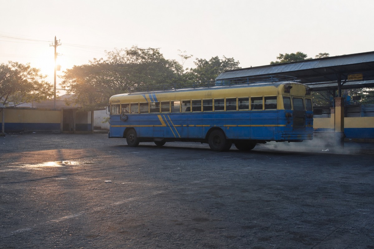
The morning has two soft spots. The first is the terminal itself: buses here leave when they are ready, so the 7:30 to 7:40 figure is a habit rather than a printed promise, and I have never regretted arriving 20 minutes early with a coffee. The second is the trailhead queue. On busy dry-season weekends the cash tables move slowly, and a bus that pulls in at 9:45 still leaves you plenty of margin, but not so much that you should wander off to photograph Izalco before paying.
The return is the part nobody plans. Once the crater closes around 13:00 and you have walked the 1.5 hours down, you are back at the trailhead mid afternoon with a bus schedule that is thinner than the morning one. Ask about the last downhill service before you start climbing, not after. Ask around the parking area too: the drivers you just climbed with are heading down the same road, and a shared ride to the main highway is a normal end to the day. Total spend for a day like this, by one independent traveller's April 2025 count, was around $17 including the summit ice cream. That number still holds up.
How much cash should you carry, and in what bills?
Budget roughly $20 in small US bills for the DIY day, whichever way you arrive. The fixed fees are $3 entrance for foreigners, about $4 for the group guide, $3 parking if you drove, and about $2 for poles. Nothing on the mountain takes cards, and change for a $20 note is scarce at the tables.
El Salvador runs on the US dollar, which removes exchange-rate math but introduces a different problem: the mountain wants coins and singles, and ATMs hand out twenties. Break notes in the city the day before. Buy the pan dulce, buy the coffee, keep the change.
| Traveller | Fixed mountain cash | Likely extras | Sensible allowance |
|---|---|---|---|
| Bus 248 rider | $3 entrance + ~$4 guide + ~$0.70 fare each way | ~$2 poles, paletas, a return ride | ~$20 in small bills |
| Self-driver | $3 entrance + ~$4 guide + $3 parking | ~$2 poles, paletas, fuel already paid | ~$20 plus fuel |
| Guided day guest | Admission and lunch already included | ~$2 poles, paletas, tips, drinks beyond lunch | ~$10 to 15 in small bills |
| Salvadoran resident | $1.50 entrance + ~$4 guide | Same extras | ~$15 |
Read that table as a planning allowance, not a price list; the fixed fees are the real figures and the buffers are mine. Two things push the total up. A private guide, at roughly $35 to 40, is a genuine option for a family that wants its own pace, and it changes the arithmetic completely. And paletas at 2,381 m cost whatever the vendor says they cost that day, which is still less than you would pay for the same view anywhere else on earth.
If you are on the guided day tour, the cash question shrinks to tips and treats because admission is folded into the booking. That is a bigger convenience than the $3 suggests: it is one fewer queue at the busiest moment of the morning, when the group is forming and the guides are counting heads. I go deeper on the whole money picture, tour against DIY, in the cost guide.
What goes wrong most often on the way to the trailhead?
In Carlos Hernández's experience since 2018, the recurring failures are arriving after the 11:00 last start, arriving with only large notes, underestimating the 2-hour bus ride or weekend traffic out of the capital, and dressing for the trailhead rather than the summit. Every one of them is a planning error, not a fitness error.
I keep an informal tally in my head, and by my own count of the thousand-plus travellers I have walked with, the mistakes cluster into a short list. None of them involves the trail. The trail is moderate, 6.9 km round trip, and hikers manage it fine once they are on it. The damage happens before the first step.
| What I see | Why it happens | The fix |
|---|---|---|
| Arriving at 11:20 | Trusted a map app that ignores bus stops and hill grades | Work backward from 11:00; aim for 10:30 at the latest |
| Standing at the cash table with a $50 note | ATMs dispense large bills | Break notes in town the day before |
| Chained buses from San Salvador or the coast | Assumed the network reaches everywhere in time | It does not; sleep in Santa Ana or take the pickup |
| Sandals and a vest | Dressed for the base, not 2,381 m | Ankle-support shoes, a warm layer, 2 litres of water |
| Sprinting from the car park to the group | Left no margin for the fee queue | Arrive, pay, then breathe |
The map-app problem deserves a paragraph on its own. Routing software will happily tell you that San Salvador to the trailhead is a bit over an hour, and for a car on a quiet weekday morning that is right. It will also tell you that a public route exists, stitching together buses with cheerful confidence, and that part is wrong for the ascent window. The 248 from Santa Ana city is the only bus that lands you inside it, and everything else is a two-day plan dressed up as a day trip.
The dressing mistake is the one I find hardest to forgive, because it is free to avoid. The summit runs cooler and windier than the base every month of the year, the last stretch to the rim is loose rock, and I have watched people in beach sandals turn back 20 minutes short of the crater. My packing list is in what to bring, and the version for people who learn the hard way is in first-time mistakes.
How does the season change the trip up the mountain?
The route is the same year round, but the reasons to hurry differ. In dry season, November to April, the crater is at its clearest and the mornings busiest. In green season, May to October, the slopes turn lush and cloud builds over the summit in the afternoon, which is exactly why the late-morning group ascent is timed the way it is.
| Season | Months | Crater view | On the road | What to pack extra |
|---|---|---|---|---|
| Dry | November to April | Clearest of the year | Busier trailhead mornings, dusty final approach | Sun protection, more water |
| Green | May to October | Usually clear at the late-morning start, cloud by afternoon | Wetter surface on the mountain road, greener coffee slopes | Rain layer, grippier shoes |
| Any month | All year | Summit cooler and windier than the base | Leave margin for slow trucks on the climb | One warm layer, small bills |
I like both halves of the year for different reasons, and I have written a full month-by-month view in best time to hike. For transport specifically the difference is smaller than people expect. The bus runs, the road stays open, the window stays 9:30 to 11:00 with the crater closing around 13:00. What changes is the cost of being late.
In dry season a late arrival costs you the day. In green season it can cost you the view even if you make the start, because the group that leaves at 10:45 reaches the rim later than the group that left at 9:45, and every extra hour up there is another hour for the cloud to gather. So my green-season advice is stricter than my dry-season advice: be at El Tibet by 9:30, join the first movement of the group, and let the people who arrive at 10:50 have the mist.
There is a small silver lining for drivers in the wet months. Weekend traffic thins, the trailhead is calmer, and the coffee country you pass through is at its greenest. The mountain is an active, monitored stratovolcano in every season; MARN's monitoring is public at SNET and there are no advisories or closures at present, so weather, not geology, is the variable you are planning around.
Which base should you sleep in the night before?
Sleep in Santa Ana city if you want the bus and the cheapest day. Sleep in San Salvador if you have a car or want the shortest drive with hotel pickup. Stay on the coast at El Tunco or El Zonte only if you are taking the pickup, because it is about 2 hours each way and no bus makes the window.
The base decides the transport, not the other way round, so pick your bed first. Santa Ana city is the classic budget answer: La Vencedora terminal is right there, the 248 leaves around 7:30, and you wake up with the whole day already solved. I cover the neighbourhoods and the trade-offs in where to stay in Santa Ana.
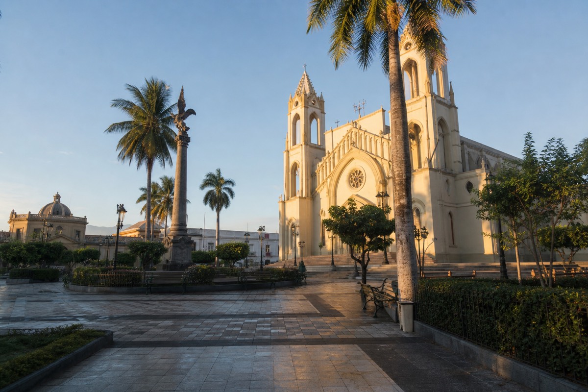
San Salvador is the closest major base with an airport, 1 to 1.25 hours from the trailhead by car, and it is where the guided day's pickup network is thickest. If a rental is part of your trip, drive; if not, the pickup makes the capital the lowest-effort base of all. The coast is the trickiest. El Tunco is a wonderful place to wake up and a bad place to start a public-transport chain toward a mountain with an 11:00 cutoff. The surf towns have their own arithmetic, and I have written it up separately in the El Tunco guide.
There is a fourth option that suits people with slack in their itinerary: build the whole thing into a loop through the highlands, sleeping in Santa Ana, climbing Ilamatepec, then dropping to Lake Coatepeque for a night on the caldera before heading on. That is the version I sketch in the volcano itinerary, and it is the one I would choose if someone handed me three free days.
Which way should you go?
Sleeping in Santa Ana city on a budget: take bus 248. Renting a car anyway: drive and add Coatepeque. Based in San Salvador, El Tunco, or El Zonte without a car: the guided day with hotel pickup is the only option that reliably makes the window without a night in Santa Ana.
I have no snobbery about any of these. My favorite mornings on this mountain started on the 248 with a bag of pan dulce. But I also meet the people who got the logistics wrong, who reached El Tibet at 11:40 and stood in the parking lot watching the trail they could not walk.
So pick by your base, not by ideology. Coast-based readers should see the dedicated El Tunco guide, because the surf towns have their own math. And whichever route you choose, be at the trailhead by 10:30 with cash in hand. The volcano does not wait, and honestly, that discipline is part of why the summit still feels earned.