Is El Salvador Safe for Tourists in 2026?
What the US Level 1 advisory, a record 4.1 million visitors in 2025, and the state of exception actually mean for tourists visiting El Salvador right now.
 Written with Carlos Hernández, Santa Ana Volcano tour guide & hiking specialist
Short answer
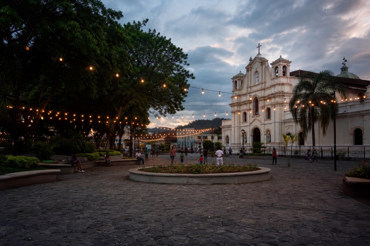
Yes, by official measures. The US State Department rates El Salvador Level 1, exercise normal precautions, its lowest advisory tier, as of late June 2026. A record 4.1 million international visitors came in 2025, and early 2026 arrivals are up 35 percent. Normal travel sense still applies, so watch valuables, use registered transport, and carry small cash.
I remember when telling someone abroad that I guide hikes in El Salvador earned a raised eyebrow. These days the same conversation ends with them asking for my trail recommendations. The question still comes, though, usually before anything about boots or buses: is it actually safe? Fair question, and it deserves a factual answer rather than a slogan, so here is what the official record says and what I tell my own clients.
Is El Salvador safe for tourists right now?
Yes, by the official measures travelers rely on. The US State Department places El Salvador at Level 1, "exercise normal precautions," its lowest of four advisory tiers, as of June 25, 2026. Visitor numbers back this up: a record 4.1 million international arrivals in 2025 and a further 35 percent jump in early 2026.
Level 1 is the same tier the State Department applies to destinations most people never think twice about. It does not mean nothing can go wrong anywhere, it means the department sees no elevated risk category for the country as a whole. You can read the advisory yourself on the State Department's El Salvador page, and I recommend doing that before any trip, since advisories update as conditions change.
On the ground, the shift is visible. Tourist police accompany the daily group ascent on Santa Ana, families picnic at Lake Coatepeque on weekends, and the beach towns fill with surfers who booked one-way tickets. My clients' most common safety comment after a trip is that they felt they had over-prepared.
| Advisory snapshot | Detail |
|---|---|
| US State Department level | Level 1, exercise normal precautions |
| What Level 1 means | Lowest of four tiers, no elevated risk category |
| Advisory date | June 25, 2026 |
| Volcano-specific measures | Mandatory local guides, organized group ascent, tourist police presence |
| Official monitoring | MARN's SNET network watches volcanic activity daily |
What is the state of exception, and does it affect tourists?
El Salvador has operated under a state of exception since March 2022, a legal measure aimed at gang activity that suspends some constitutional guarantees and has been repeatedly extended. For tourists the practical effects are visible policing, occasional checkpoints, and a strong expectation that you carry identification.
I will state this plainly rather than dress it up either way. The measure is why security changed so quickly, it remains in force, and it has drawn criticism from human rights organizations while staying broadly popular domestically. Tourism has grown alongside it, with the government actively promoting the country as a destination.
What it means for your day-to-day trip is modest. Carry your passport or a copy, expect to see police and soldiers in public places, and treat any checkpoint the way you would airport security: calm, cooperative, unremarkable. In years of guiding I have never had a client's trip disrupted by any of it. The context matters for understanding the country you are visiting, and visitors who read up beforehand tend to have better conversations with the Salvadorans they meet.
What do the tourism numbers actually show?
Record growth. El Salvador received 4.1 million international visitors in 2025, an all-time high worth roughly $3.6 billion in revenue. The momentum carried into 2026: 1.7 million arrivals from January through April, up 35 percent year over year, with April alone up 36 percent.
Numbers like these are their own kind of safety evidence, because millions of travelers do not keep returning to a place that treats them badly.
| Period | Arrivals | Trend |
|---|---|---|
| Full year 2025 | 4.1 million | Record high, about $3.6 billion in revenue |
| January to April 2026 | 1.7 million | Up 35 percent year over year |
| April 2026 alone | 473,000 | Up 36 percent year over year |
The growth is spread across exactly the things this site covers: volcano hiking, the lake, the surf coast. The official tourism board promotes the Santa Ana region heavily, and its page on Ilamatepec treats the summit hike as a national flagship. If you are sketching a wider route, my volcano itinerary guide shows how the pieces fit together.
What precautions still make sense?
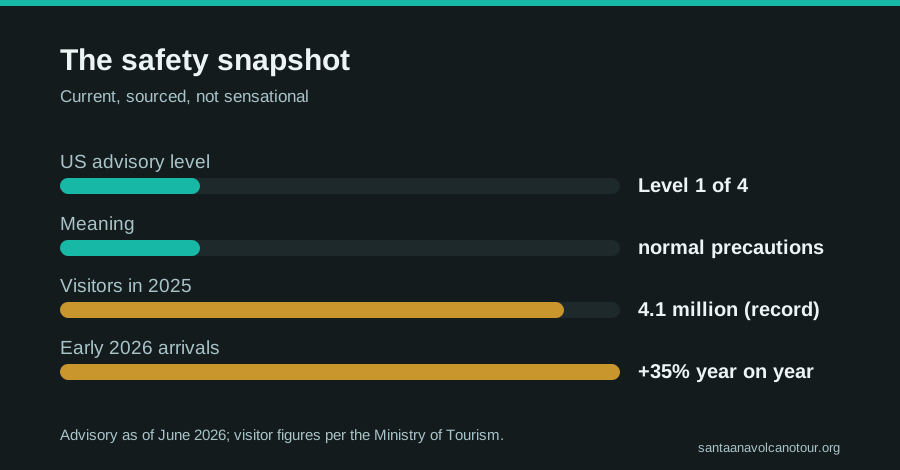
The normal ones, applied consistently. Use registered transport or organized tours, keep valuables out of sight, carry small amounts of cash in US dollars, avoid empty streets late at night, and check the State Department advisory before you fly. Level 1 means normal precautions, not zero precautions.
This is the list I give every client, and none of it is specific to El Salvador so much as to being a visitor anywhere.
| Precaution | Why it earns its place |
|---|---|
| Registered transport or organized tours | Removes the main friction point for foreigners, logistics |
| Small cash, in US dollars | The country runs on dollars, and park fees are cash only |
| Valuables out of sight | Phones flashed on empty streets invite trouble anywhere on earth |
| Passport or a copy on you | Expected under the state of exception, occasionally checked |
| Advisory check before flying | Conditions and advisories can change; the page is free |
| Sun and altitude respect on hikes | The likeliest genuine risk on a volcano day is sunburn and dehydration |
Notice where the real risk sits: the last row. In all my seasons on the trail, the problems I have actually treated are sunburn, rolled ankles, and people who brought half a liter of water for a four-hour hike. Pack using my what to bring list and you have addressed the statistically likely dangers.
What does a safe volcano day look like from pickup to lunch?
Structured from start to finish. On the guided day a van collects you from your San Salvador, El Tunco, or El Zonte hotel, drives 1 to 2 hours to the park, and delivers you into the organized group ascent with a mandatory local guide and tourist police present. The rim clears by about 13:00, and the day ends with lunch beside Lake Coatepeque.
The point of walking through the day is to show where the safety sits: not in any one precaution, but in the fact that every stage is scheduled and supervised.
| Stage | What happens | The safety element |
|---|---|---|
| Early morning pickup | Hotel collection in San Salvador, or from El Tunco and El Zonte | Registered transport, no street taxis needed |
| The drive | About 1 to 1.25 h from the capital, roughly 2 h from the coast | A driver who knows the route and the fixed timing |
| Arrival at the park | Admission handled, poles for about $2 | Cash-only fees are already covered on the guided day |
| The group ascent | Forms around 9:30 to 10:00, last start 11:00 | Mandatory local guide, tourist police escort, one organized wave |
| The rim | Around 2 h up at group pace | Managed edge, guide sets the boundary, crater closes about 13:00 |
| The descent | Roughly 1.5 h down | Guides count their groups off the mountain |
| Lake Coatepeque | Lakeside lunch included, about 2 h | Daylight, a busy public lakeshore, then the drive back |
Independent hikers slot into the same middle section. Everyone climbs with the daily group and the same guide requirement, whatever they paid or how they arrived. What the guided version adds is the ends of the day, the transport and the lake, and it is those ends that most safety questions are really about. Groups on the guided day are capped at 20 and recent reviews describe around 10, small enough that the guide knows every face by the first switchback.
What are the real physical risks on the hike, and how do you manage them?
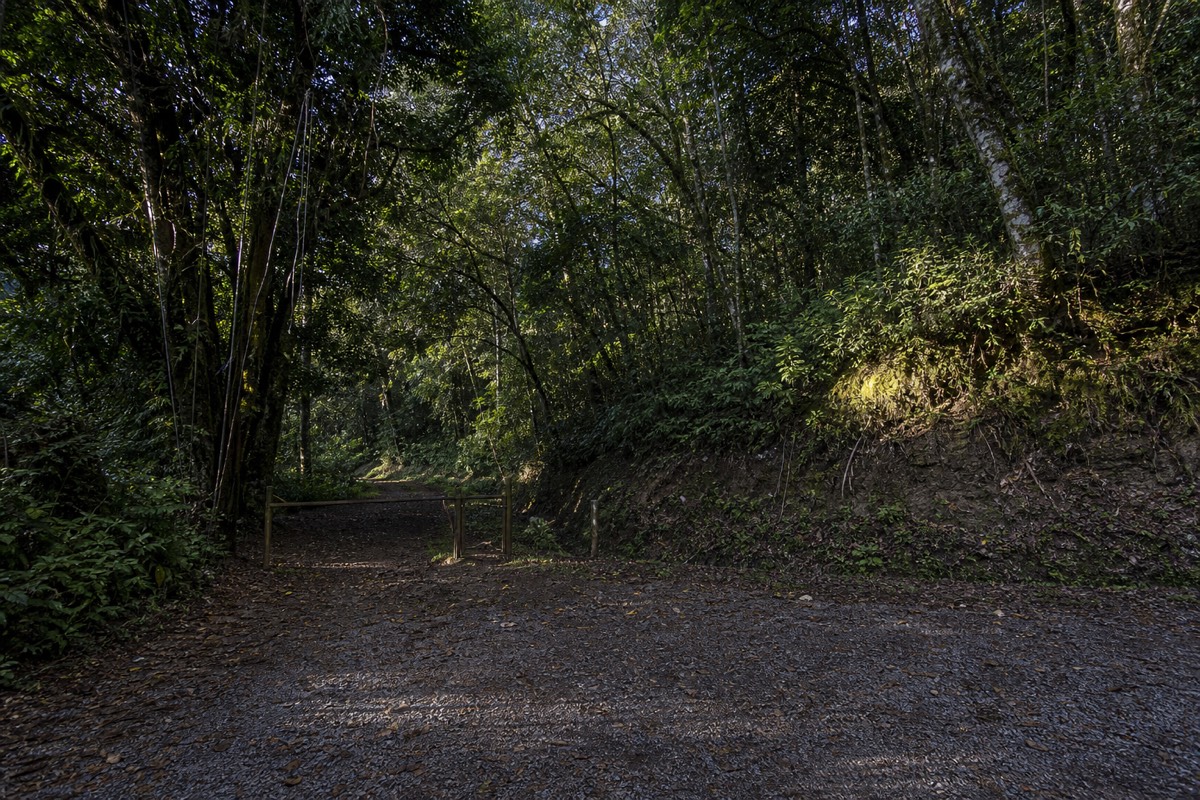
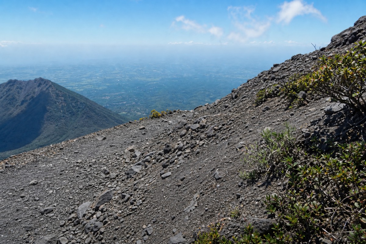
Sun, dehydration, and ankles. The upper trail is exposed, the summit is cooler and windier than the base, and the last section is loose volcanic rock. In my seasons guiding since 2018 these three account for nearly every problem I have dealt with. Water, sun protection, and shoes with ankle support handle them.
The security question gets the headlines; the sunburn question gets the actual patients. Here is the risk list as I see it on the trail, ranked by how often it happens.
| Risk | Where it bites | How to manage it |
|---|---|---|
| Sunburn and heat | The open upper trail on any clear day | Hat, sunscreen, and a real water supply; there is no shade above the forest |
| Dehydration | The climb, from mid-mountain up | Carry more than feels necessary; the summit paleta is a treat, not hydration |
| Rolled ankles | The rocky summit push, mostly on the descent | Shoes with ankle support, poles for about $2 |
| Wind chill on the rim | The summit, every month of the year | Pack a layer; it is cooler and windier than the base |
| Overexertion | Steady switchbacks, about 470 m of gain | Group pace, breaks, honest self-assessment; not for back or heart conditions |
| The crater lake | The rim | Sulfuric, acidic, prohibited; stay on the managed edge |
The trail itself is honest. AllTrails rates it 4.8 and moderate across a 6.9 km round trip, and recent reviewers call it "not super easy but not as difficult as anticipated." That matches my experience: it is walking, not climbing, until the last rocky stretch, and even that is more about care than strength. Read my guide to the hike's difficulty if you are unsure whether you belong on it. The volcano's geological status is a separate matter, covered by MARN's daily monitoring and my activity rundown; on the trail, the mountain's activity is not the risk that reaches you.
Is it safe to reach the volcano on public transport?
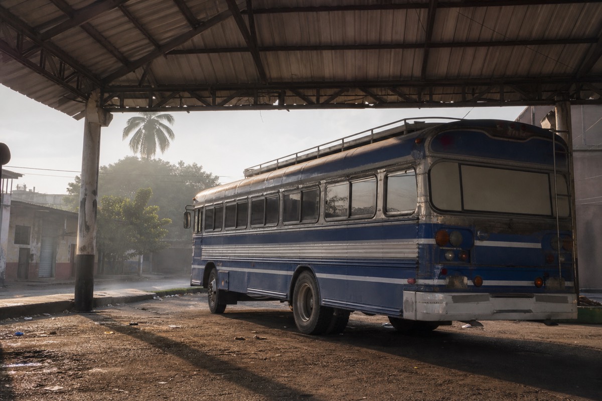
From Santa Ana city, yes, and it is the standard budget route: bus 248 from La Vencedora terminal around 7:30 to 7:40 am, about $0.70, roughly 2 hours to the trailhead area, in time for the group window. From San Salvador or the coast there is no workable public route that meets the schedule, so the practical options are a driver or the guided day.
Public buses in El Salvador are how most Salvadorans move, and the 248 is a normal working bus full of normal working people. The relevant question is less about safety than about timing: the group ascent has a last start at 11:00, and the only bus route that reliably beats it starts in Santa Ana city.
| Starting point | Public option | Fits the 11:00 window? | Practical alternative |
|---|---|---|---|
| Santa Ana city | Bus 248, about $0.70, roughly 2 h | Yes, if you catch the 7:30 to 7:40 departure | A taxi to the trailhead if you oversleep |
| San Salvador | No workable public route | No | Guided day with pickup, about 1 to 1.25 h by road |
| El Tunco or El Zonte | No workable public route | No | Guided day covers pickup, roughly 2 h by road |
The general precautions from earlier in this article apply on the bus as anywhere: valuables out of sight, small cash ready, passport copy on you. Beyond that, treat it as the ordinary journey it is. My guide to getting to the volcano covers all three starting points, and the San Salvador route notes explain why the capital, despite being closer by road, is the harder public-transport start.
What cash and documents should you carry on the day?
US dollars in small bills, and identification. Park entrance is $3 for foreigners, the group guide fee about $4 per person, parking $3, and poles around $2, all cash only. Carry your passport or a copy, since identification is expected under the state of exception and occasionally checked. Cards are useless at the gate.
The country runs on US dollars, which removes the currency exchange worry entirely, but the volcano runs on cash, which catches people out.
| Carry | Amount or form | Why |
|---|---|---|
| Small US dollar bills | Enough for fees plus a margin | $3 entrance, about $4 guide, $3 parking, poles about $2, all cash |
| Passport or a copy | On your person | Expected under the state of exception; treat checks as routine |
| A phone with the advisory saved | Offline copy | The State Department page is free and updates as conditions change |
| Booking confirmation | On the guided day | Admission and lunch are included, so no cash needed at the gate |
| Water and sun protection | 2 L is the allowance I give clients | The likeliest genuine hazard is on the trail, not in town |
Independent hikers should budget the fees in cash before leaving Santa Ana city, because there is nowhere to fix that at the trailhead. One traveler's report from April 2025 put a full DIY day at roughly $17 including a summit paleta, which shows how little cash you actually need, and how annoying it is to be short by three dollars. On the guided day tour, admission is inside the booking, so the only cash you need is for the paleta seller and anything you fancy at the lake.
How do solo travelers and families fare on the volcano day?
Well, because the structure does the work. Solo hikers are never alone: everyone joins the daily group ascent with a mandatory guide, and on the guided day groups are capped at 20 and often around 10. Families with walking-fit children do fine at group pace. The operator excludes back and heart conditions and pregnancy, and the trail is not wheelchair accessible.
Solo travelers ask me the most safety questions, and they end up with the easiest day, because the volcano is built for groups. You do not route-find, you do not hike alone, and you finish the climb knowing nine other people's names. My post on what solo travelers ask me collects the recurring questions and the honest answers.
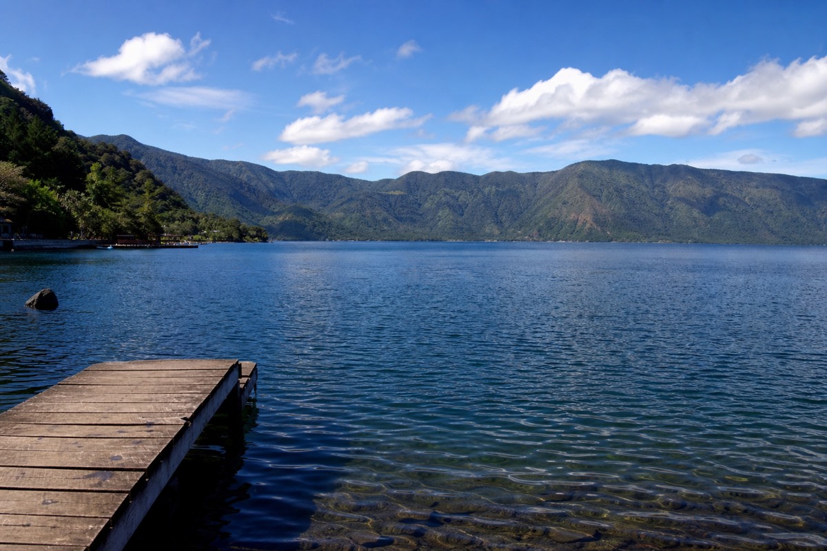
Families need one calculation: can everyone walk about 6.9 km with roughly 470 m of gain, in 3 to 4 hours, in sun? Children who hike at home usually can, and the group pace keeps the family together rather than strung out. The rim needs supervision, since it is loose rock with a managed edge, and the crater lake is acidic and off-limits. The lake for swimming is Coatepeque, later in the day.
Two honest limits. The operator's listing excludes back and heart conditions and pregnancy, and it says the day is not wheelchair accessible; take both at face value. And the schedule does not bend for anyone: last start 11:00, crater closed around 13:00. Within those limits, the volcano day is one of the most predictable outdoor experiences in the country, which, for anyone whose worry is safety, is exactly the quality you want.
Is the Santa Ana volcano area safe for the hike itself?
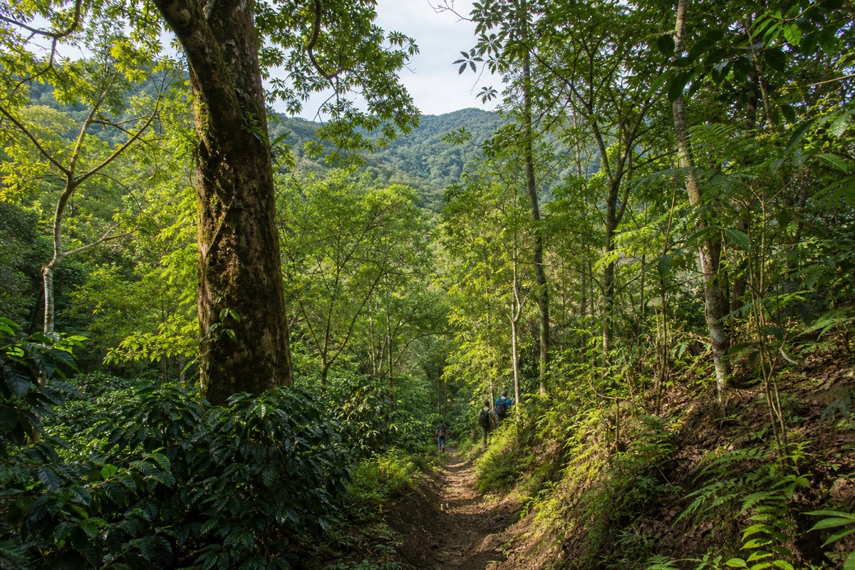
Yes, and it is one of the most supervised outdoor experiences in the country. Every hiker joins the organized group ascent with a mandatory local guide, tourist police accompany the daily climb, and MARN monitors the volcano itself daily. The structure removes both security and navigation worries in one stroke.
The mountain runs on a system. The group ascent starts around 9:30 to 10:00, the last start is 11:00, and the crater area closes around 13:00, which means nobody is wandering the upper mountain alone at odd hours. For the volcano's geological status, last eruption October 2005 and no current advisories, see my full activity rundown.
The simplest way to slot into that system is to book the guided day tour and check live availability and prices on Viator, which handles hotel pickup, the certified bilingual guide, admission, and the timing in one arrangement rated 4.9 across 869 reviews. It also carries free cancellation to 24 hours, so a change of plan costs nothing.
My honest summary, as someone who lives here and puts travelers on the trail every week: El Salvador in 2026 is a Level 1 country having a tourism moment, with a security context worth understanding and precautions that amount to ordinary travel sense. Come with your eyes open and your water bottle full. The volcano will take care of the rest.